BACKGROUND
The Severn River and estuary form a natural geographic barrier between England and Wales. In 1966, the first Severn Crossing Bridge was opened to traffic, extending the M4 radial highway into the M25 orbital highway around London by way of the M48 extension of M4 into Wales. By the mid 1980s, traffic along the M48 highway had grown to the point where a second Severn Crossing Bridge was needed to relieve congestion. Preliminary planning for the second crossing bridge began in 1984 with a decision reached in 1986 to investigate the best location for the new bridge, and the layout of the new approach roads that would be needed to connect the bridge over the Severn River and its estuary to the M4 highway.
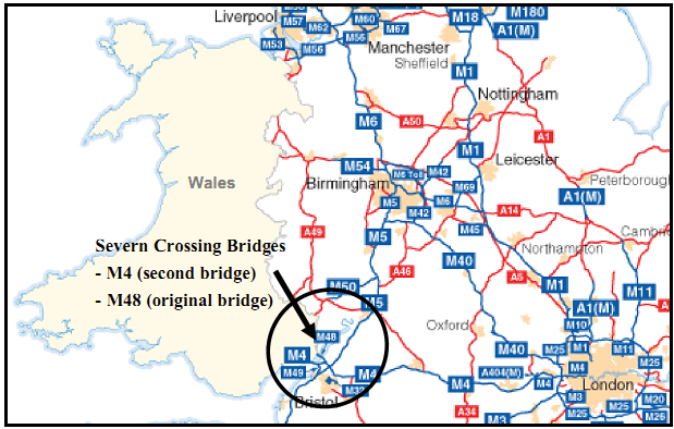
The Severn River and Estuary Crossing is the closest access point between southern Wales and London via the M4 highway, as shown in Exhibit 3.8.
Exhibit 3.8 Severn Crossing Bridge Site Map
|
Source: U.K. Highways Agency. URL: http://www.highways.gov.uk/aboutus/139.aspx |